

next-gen sortie
veteran led. crisis ready. community focused.
sortie noun (sör-tē):
An individual mission, meticulously planned, tasked, and flown to accomplish a defined operational objective.
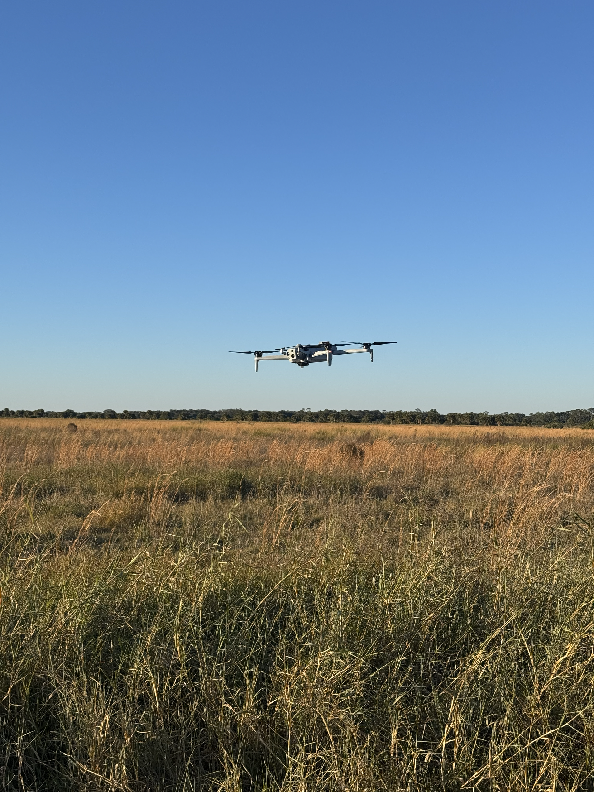


Unmanned systems are reshaping how we see, understand, and respond to the world around us. At Next‑Gen Sortie, we bring clarity to chaos by deploying rapid, mission‑focused aerial intelligence when crisis strikes.
Active SAR Status: Offline